How To Track Saudi Airstrikes in Yemen: 5 Practical Ways
Learn the step‑by‑step methods to monitor and verify Saudi coalition strikes using free tools, open‑source data, and community resources—all you can start today.
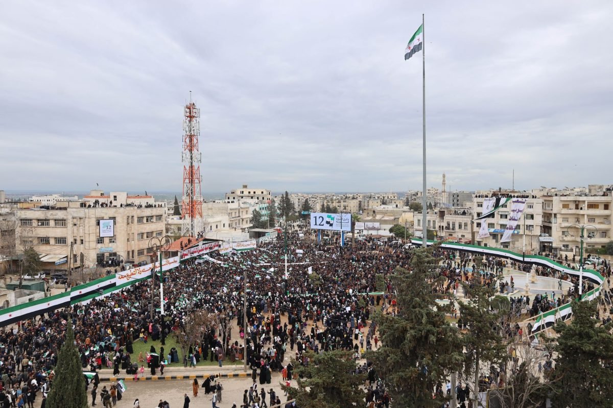
The recent surge of civilian casualties in Yemen has sparked urgent calls for transparent monitoring of airstrikes. Knowing exactly where and when strikes occur helps NGOs, journalists, and advocates push for accountability. This guide shows you five actionable ways to track Saudi airstrikes right now, using tools anyone can access.
Step 1: Set Up Real‑Time Satellite Alerts
Create a free account on Sentinel Hub (sentinel-hub.com) and subscribe to the “Airstrike Alert” preset, which uses Sentinel‑2 imagery to flag sudden thermal anomalies. Configure email or push notifications for your area of interest in Yemen’s governorates. Test the alert by reviewing a known strike date to ensure the system flags the change. This gives you a baseline of satellite‑detected events you can investigate further.
Step 2: Follow Verified Conflict‑Mapping Channels
Join the Humanitarian OpenStreetMap Team’s (HOT) Telegram channel and the ACLED (acleddata.com) API feed for daily strike reports. Use the “Export” function to download CSV files of recent incidents and overlay them on a map in QGIS. Cross‑reference the timestamps with your satellite alerts to confirm matches. Regularly syncing these sources keeps your data current and reduces false positives.
Step 3: Leverage Social Media Geolocation
Monitor Twitter for geotagged posts using hashtags like #YemenAirstrike and #SaudiCoalition; set up a TweetDeck column with the query "Yemen near:" followed by latitude/longitude ranges. Use the free tool “GeoSocial” (geosocial.io) to visualize clusters of eyewitness videos and photos. Validate each post by checking metadata and comparing it with satellite imagery timestamps. This crowdsourced layer adds human context to the technical data.
Step 4: Validate with Open‑Source Investigation Platforms
Register on Bellingcat’s OSINT Toolkit (bellingcat.com/tools) and use their “Reverse Image Search” to trace viral strike footage back to its source. Upload suspect images to “TinEye” or Google Lens to spot duplicates or earlier versions. Combine these findings with your satellite and social media data to build a robust verification chain before publishing any claim.
Step 5: Publish and Share a Live Tracker
Use Google My Maps or ArcGIS Online (free tier) to create an interactive map that updates automatically via CSV feeds from ACLED and your Sentinel Hub alerts. Embed the map on a blog or a Google Site and add a “Subscribe for Updates” button linked to a Mailchimp list. Promote the tracker in humanitarian forums and on Twitter to encourage community contributions and increase visibility for accountability efforts.
Most trackers overlook the power of low‑orbit CubeSat imagery—services like Planet’s free “Education & Research” program can provide daily 3‑m resolution images that fill gaps between Sentinel passes.
By following these five steps, you’ll be equipped to monitor Saudi airstrikes in Yemen with real‑time precision and credible verification. Your tracker can become a vital resource for NGOs, journalists, and policymakers seeking accountability. Keep the data fresh, share it widely, and help drive protective measures for civilians on the ground.